
Territory
Bir Tawil
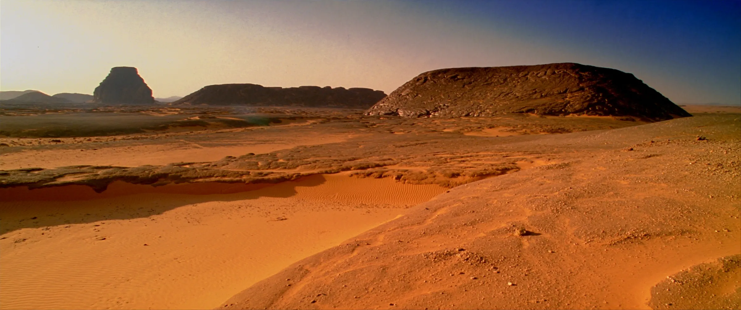
A desert region on the frontier between Egypt and Sudan, formerly no man's land, claimed by the Declaration of Independence as the sovereign territory of the Empire.
Particulars
Geography
- Area
- ≈ 2,060 km² (≈ 795 sq mi)
- Location
- Egypt–Sudan frontier, Eastern Desert
- Access to sea
- None. Landlocked.
- Climate
- Hyper-arid
- Principal constraints
- Water, heat, access, transport
Boundary history
The 1899 and 1902 lines
Two boundary lines run through the region. The political boundary of 1899 follows the 22nd parallel. An administrative arrangement of 1902 departs from it in two places.
Egypt favors the 1899 line, which places the Halaib Triangle, a larger area on the Red Sea coast, within Egypt and Bir Tawil within Sudan. Sudan favors the 1902 line, which reverses both. Neither state claims Bir Tawil, and it remained no man’s land until the Empire claimed it in 2026.
Communities of the region
The Ababda and Bishari
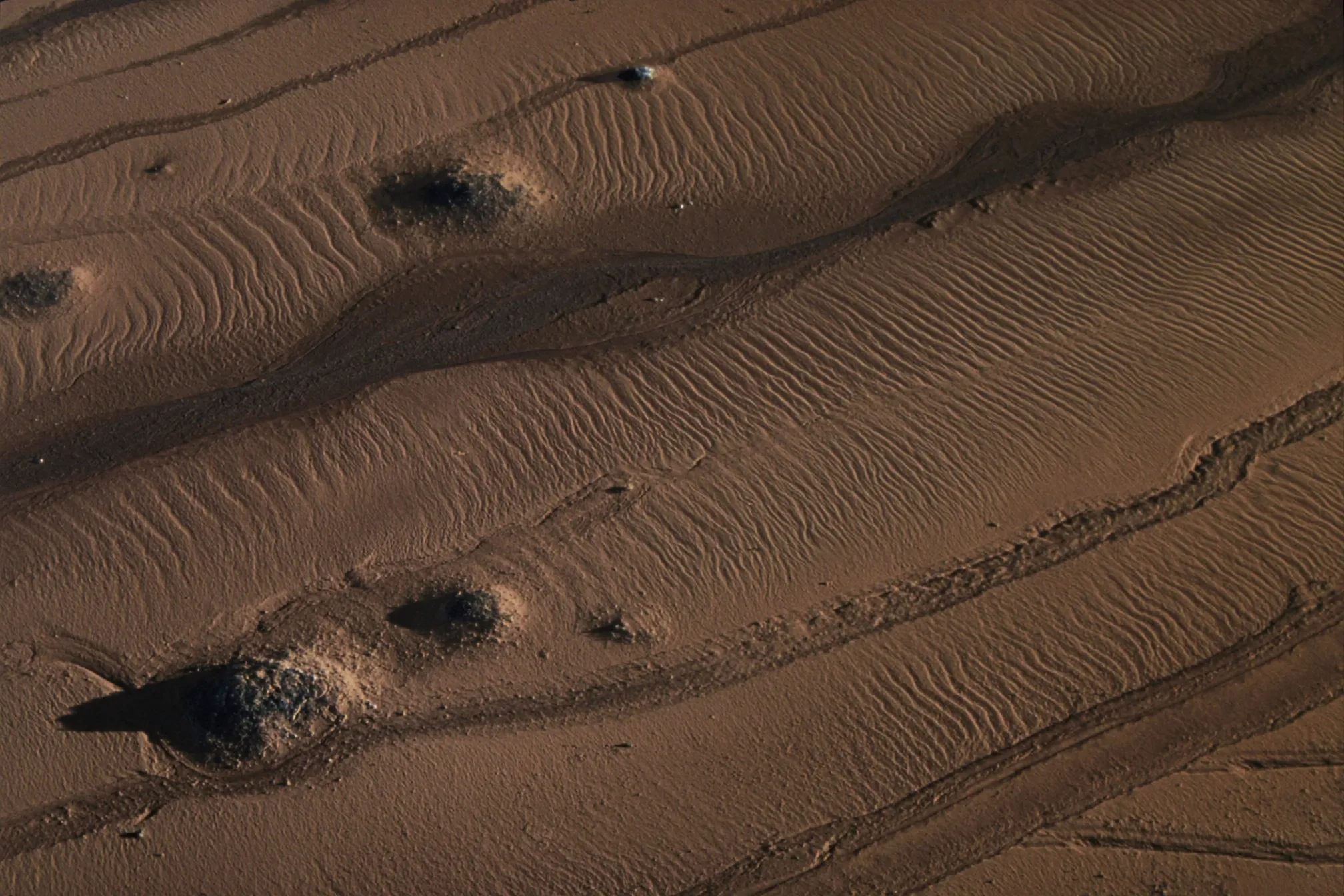
The Ababda and Bishari communities have historical and cultural ties to the wider area. The Imperial Government recognizes those ties, and any development initiative in the region will take them into account.
Commitments of the Imperial Government
- Peaceful development of the territory.
- Respect for the customary use of the land by the Ababda and Bishari.
- Diplomatic engagement with Egypt and Sudan.
- Stewardship of the desert, its water, and its environment.
- Lawful, transparent, and recorded acts of state.
Page last updated: October 22, 2026